
Focus on mobile 3D scanning & data collection.

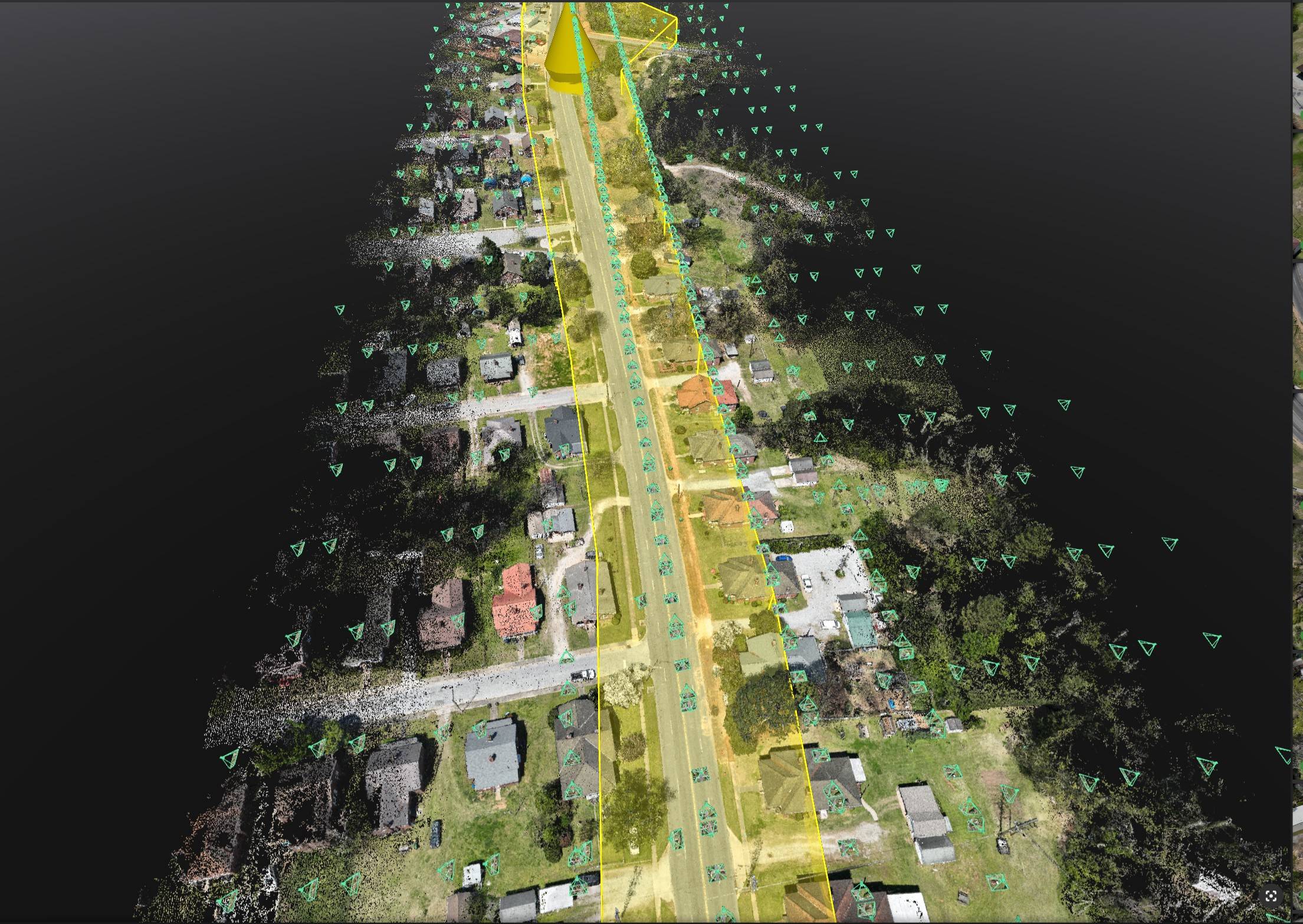
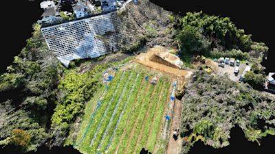
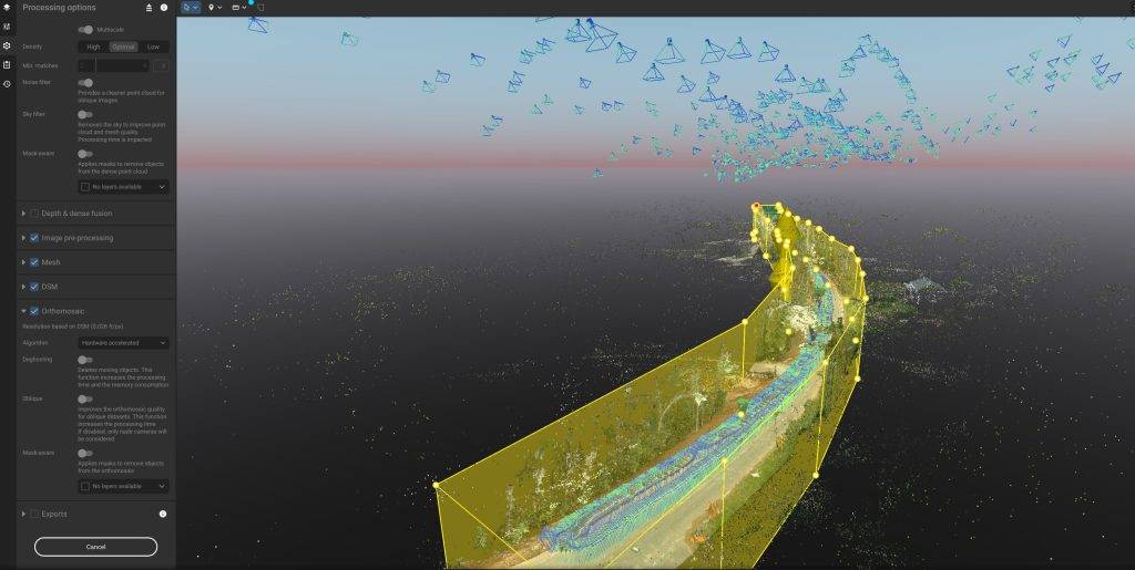
Large-scale drone mapping & photogrammetry.

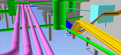
Advanced surveying & CAD integration.

Cloud-based data processing & project collaboration.

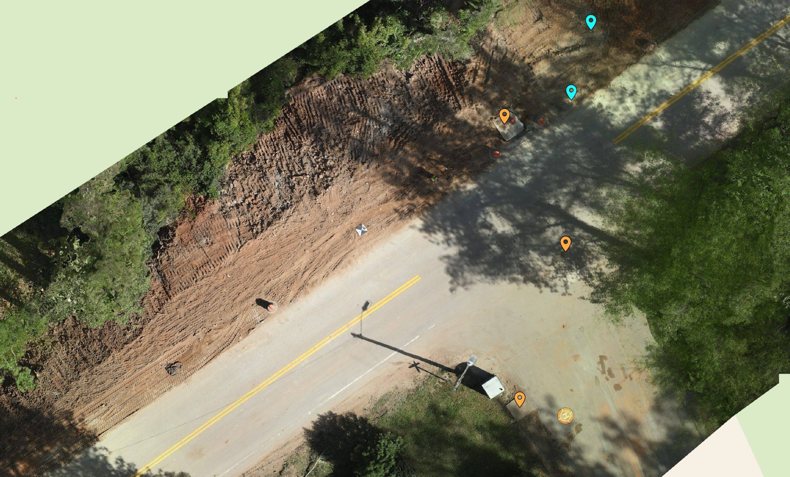
High-precision RTK GNSS receivers and software for survey grade precision

Geospatial RTK drone solutions providing comprehensive survey and mapping